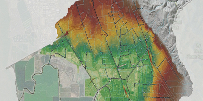
Spatial Analysis
Our Wood Rodgers team of specialists utilizes GIS to help us comprehend the spatial relationships between the different datasets we are analyzing at one time. Using GIS to perform spatial analysis allows us to better understand and interpret the data we have in front of us. By understanding the data, we can make informed strategic decisions that create better solutions to solve any complex problem that may arise for our clients.


Leave a Comment
You must be logged in to post a comment.