A powerful tool for data
management and analysis.
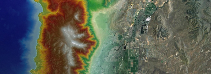
Geographic Information Systems (GIS) is a powerful tool that Wood Rodgers uses for data management, analysis, and visualization. We recognize the power GIS brings to our projects and therefore have assembled a team of experts that continue to develop new and effective methods of incorporating GIS throughout the company’s major disciplines, including Water Resources, Survey, Transportation, and Planning. As an active Esri business partner with GIS certified staff, Wood Rodgers is at the forefront of GIS technologies and GIS applications. We utilize the complete suite of Esri products and have been able to combine the essential elements of cartography, statistical analysis and database management/technology as a tool to incorporate a number of uses that has increased our workflow to create better deliverable products for our clients.

