For us, accuracy is everything.
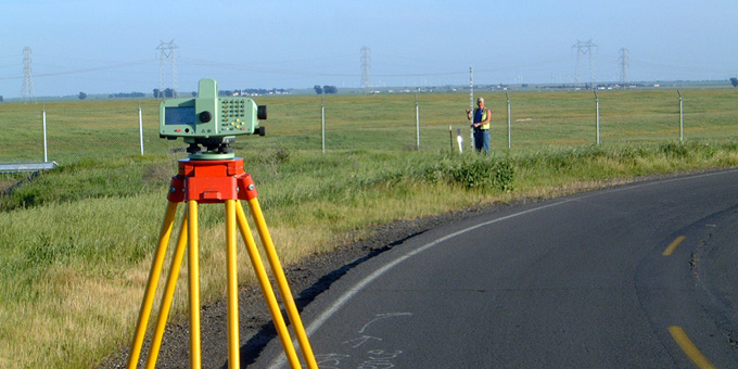
Our surveyors are focused on accuracy and efficiency, providing mapping and construction support for a wide mix of public and private projects. Our surveying services include terrestrial and aerial topographic surveys, large and small-scale control surveys, GPS control networks, construction staking, high definition surveying (HDS) laser scanning, writing legal descriptions and accompanying plats, and record utility and title ownership mapping. We are confident we can provide your surveying and mapping needs.

