Dunnigan Hills Vision 2025 Project
Location: Dunnigan, California
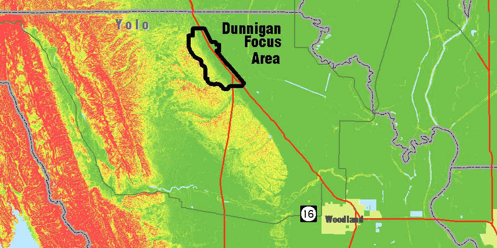
GIS analysis was used to greatly enhance regional-wide analysis for optimizing use of land and rapidly assess constraints for the Dunnigan Hills Vision 2025 project. A database was developed to assemble a vast amount of regional information including prime farmland areas, constrained slopes, floodplains, and transportation corridors. This GIS database enabled analysis of terrain, hydrology, land use suitability, and visibility studies. In addition, it was also used to assess the environmental impacts for determining the consequences of various regulatory requirements. Using this combination of client-developed criteria and regional constraints, GIS assisted decision makers in visualizing a planned community in the Dunnigan Hills area.


Leave a Comment
You must be logged in to post a comment.