Lake Forest Erosion Control
Project
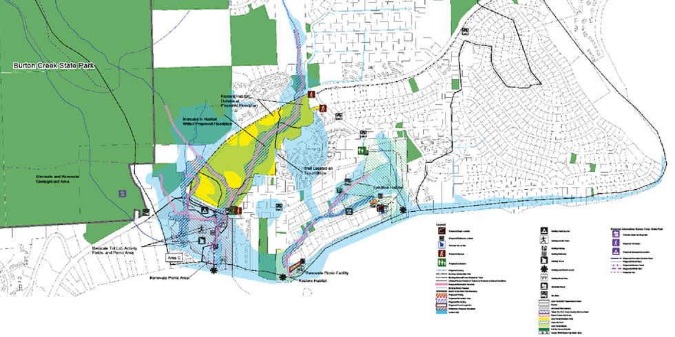
When opportunity arose to restore Lake Forest and Polaris Creek to more natural flow patterns, Federal, State, and local agencies cooperated to fund restoration feasibility and conceptual studies for the project area. As part of that effort, the Placer County Public Works Department needed to obtain drainage easements from over forty private property owners within the project area to recreate streamflows and a wet meadow. Wood Rodgers assisted the County in the process of acquisition by creating a geo-database. The geo-database was used for multiple project applications, including mailing lists for public meeting notifications, property information, natural and cultural resource identification, species of interest mapping, and wildlife and water quality monitoring information mapping. Due to a high level of agency and public interest, there was a constant demand for visualization of project information which was made possible by Wood Rodgers through the geo-database and GIS.


Leave a Comment
You must be logged in to post a comment.